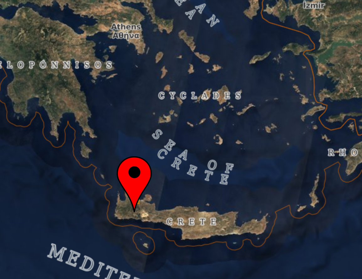
Location of the area as shown in Copernicus Open Access Hub
Vegetation Indices
Vegetation Indices for North Keritis Watershed - Crete
Select Index
Select Date
Areas appearing as dark features/ shadows/ clouds are presented as retrieved by the Scene classification map (SCL) at the Open Hub of ESA; sometimes generating erroneous results on the automatic algorithms applied. Issues like these may be waived upon request.
Location of the area as shown in Copernicus Open Access Hub: