Location of the area as shown in Copernicus Open Access Hub
Inundation Maps
Inundation Maps for Doirani - Kerkini lakes
Select Date
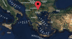
Location of the area as shown in Copernicus Open Access Hub:
Location of the area as shown in Copernicus Open Access Hub
Location of the area as shown in Copernicus Open Access Hub: